01Retail Centre Layout
Missing plans? Outdated drawings? Only have paper copies? CADTwin helps clients across South Africa recreate existing buildings as clean digital CAD. We can digitise old plans remotely, or visit site when needed to capture the building with LiDAR and laser verification before redrawing the layout properly.
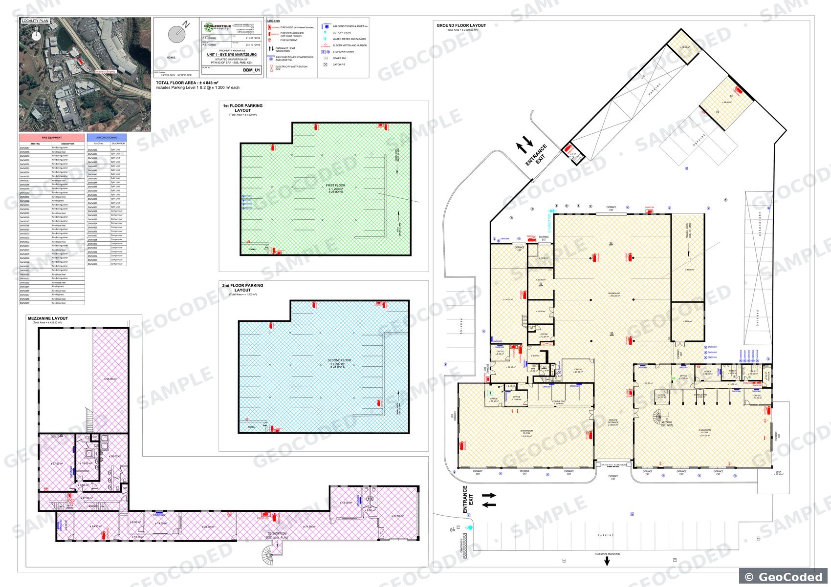
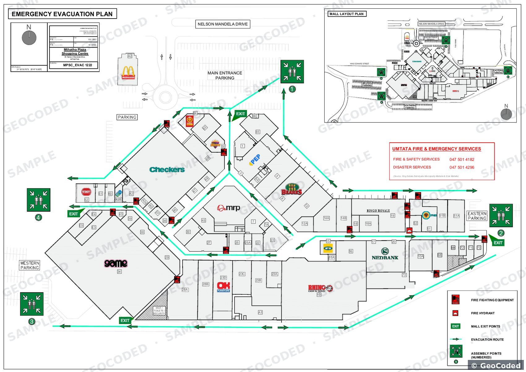
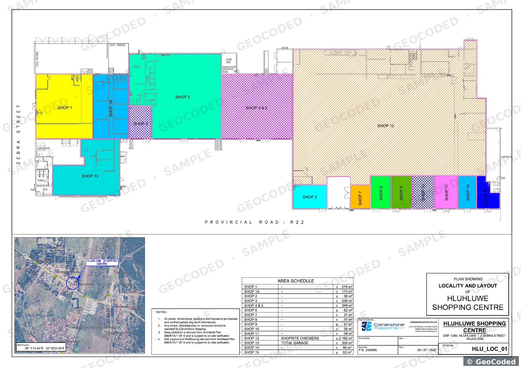
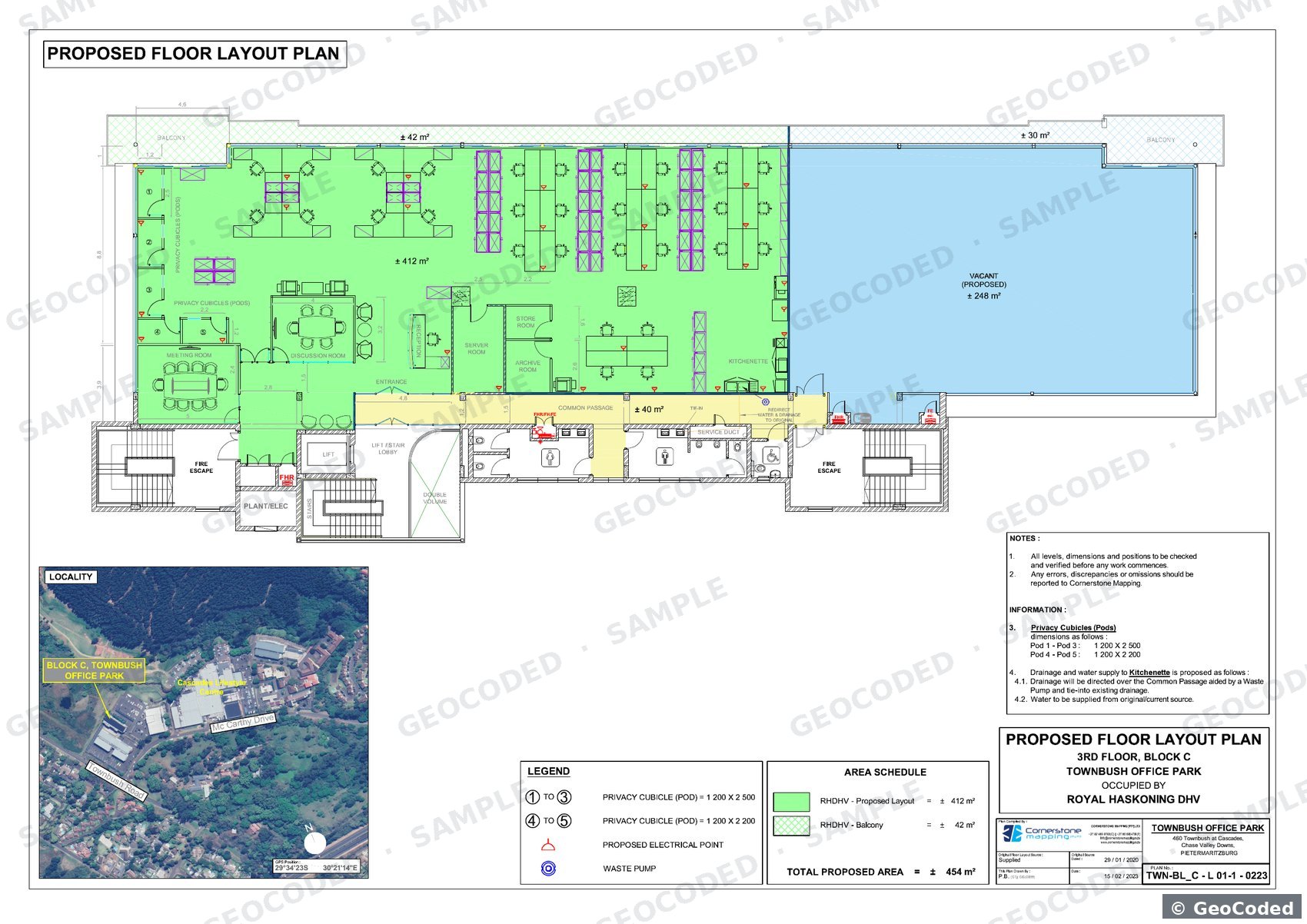
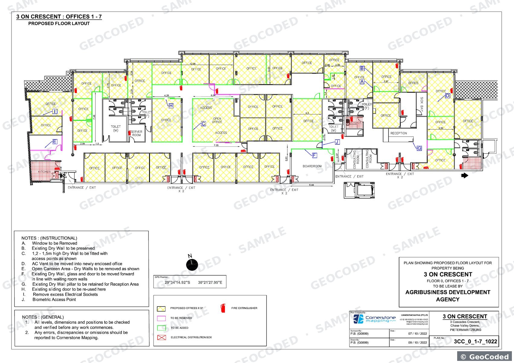
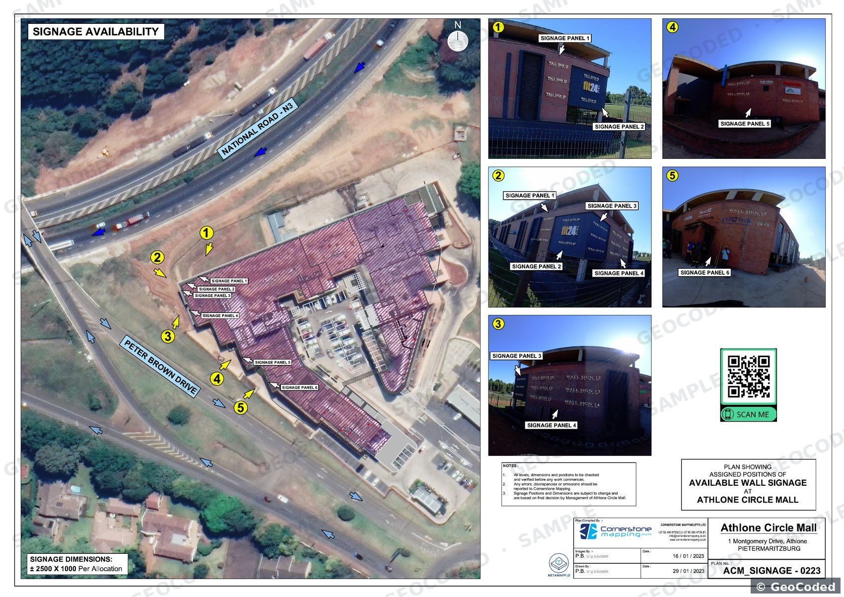
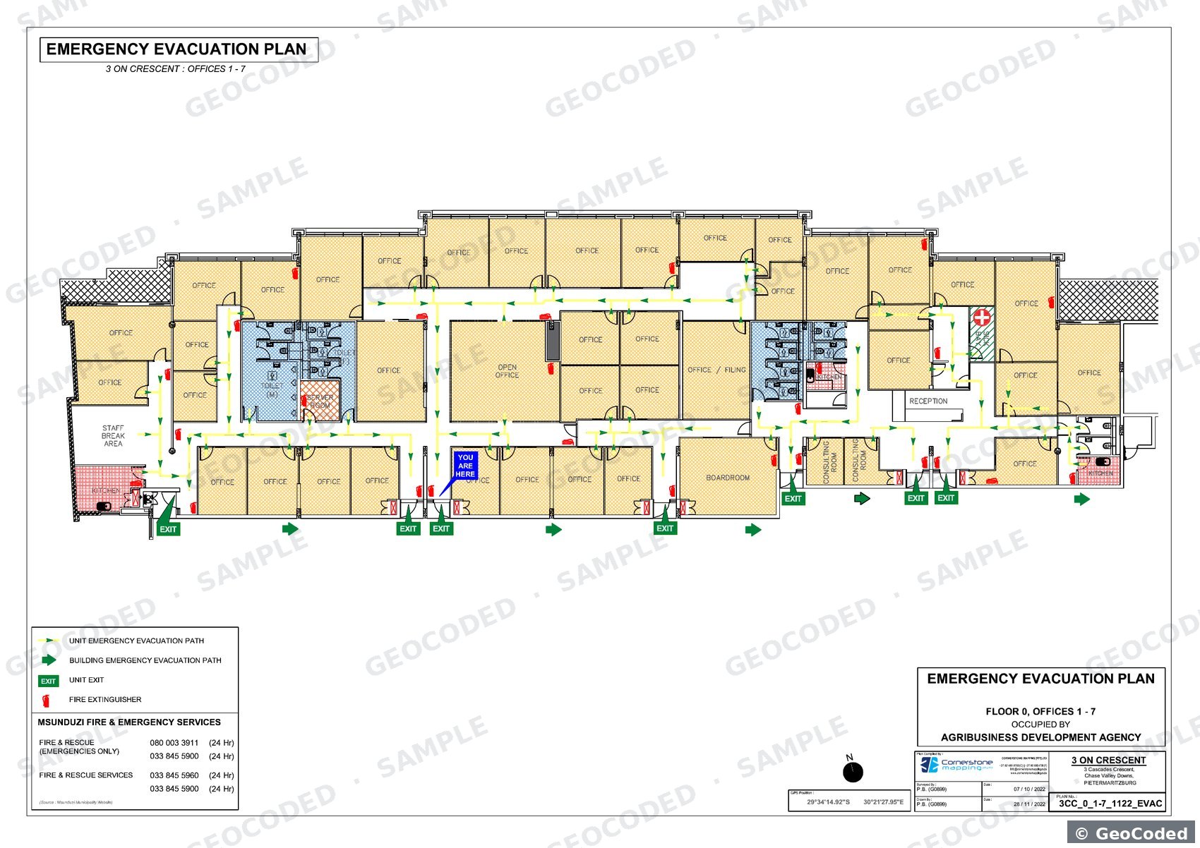
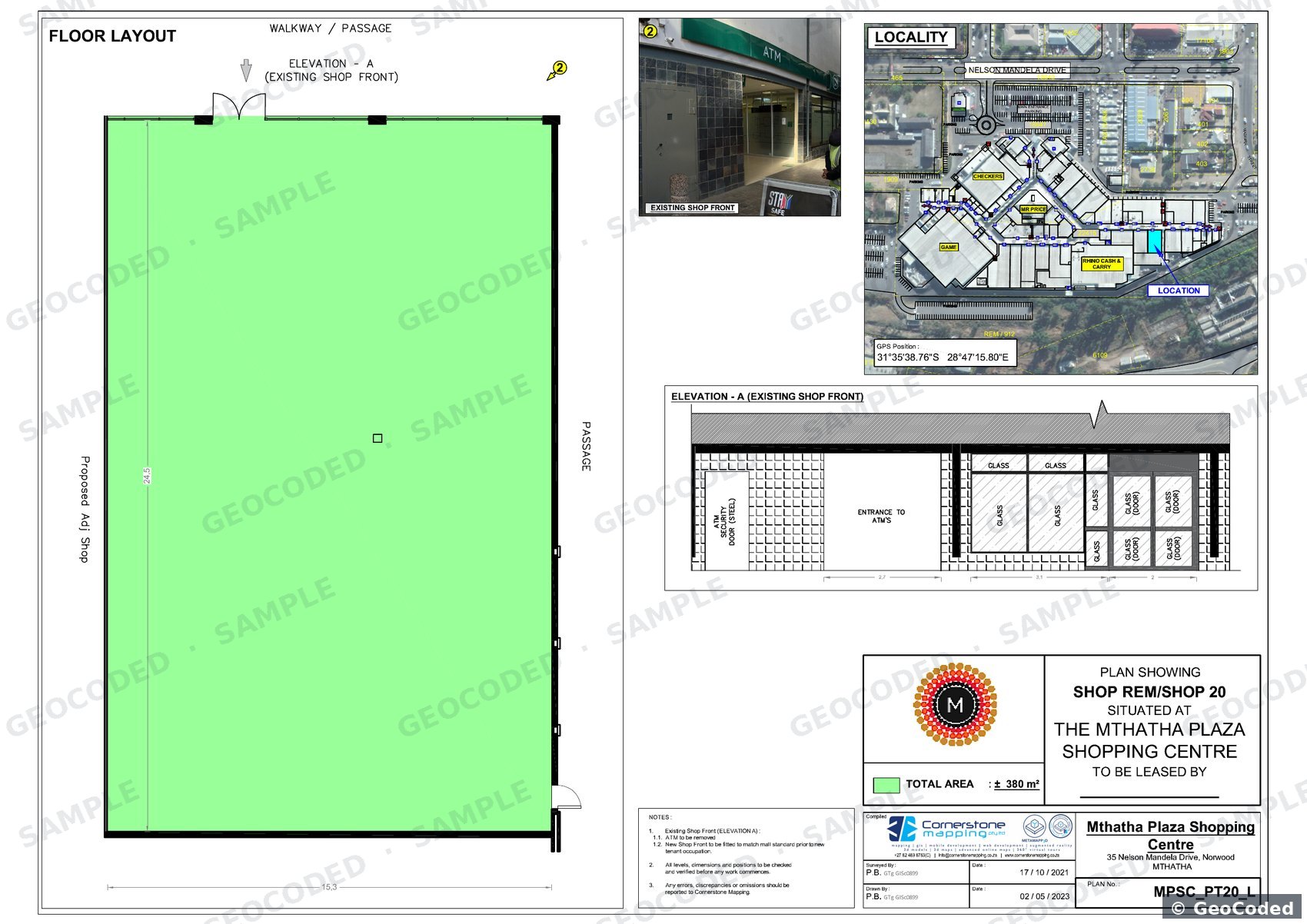
Most clients are not starting with software. They are starting with a real building and a documentation problem: no usable plans, outdated layouts, or old paper drawings that are no longer dependable. CADTwin solves that first, then leaves the door open for a smarter platform later if and when you need it.
The building exists, but there is no dependable digital record to work from.
When there are no dependable plans, the building becomes the source of truth. CADTwin visits site, captures the existing space and redraws the layout from what is actually there.
The building has changed over time, but the old plans no longer match what is actually on site.
We use the existing drawings as a starting point, verify the changed areas on site and rebuild the CAD so it reflects the current layout.
The only surviving record is a hard copy or scanned plan that now needs to become structured CAD.
When the source information is still usable, old hard copies, scanned drawings and PDFs can be recreated remotely as structured CAD without an immediate site visit.
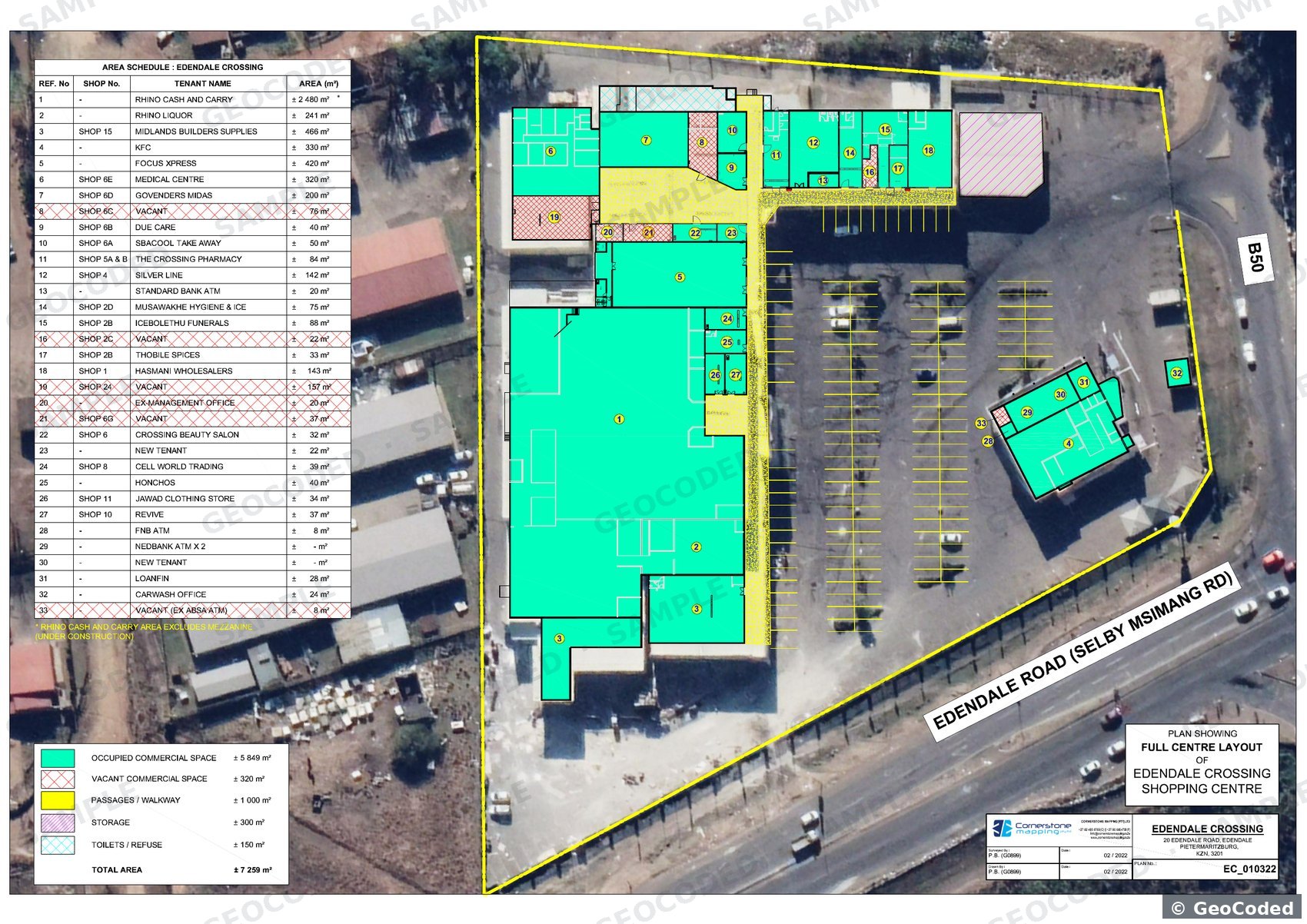
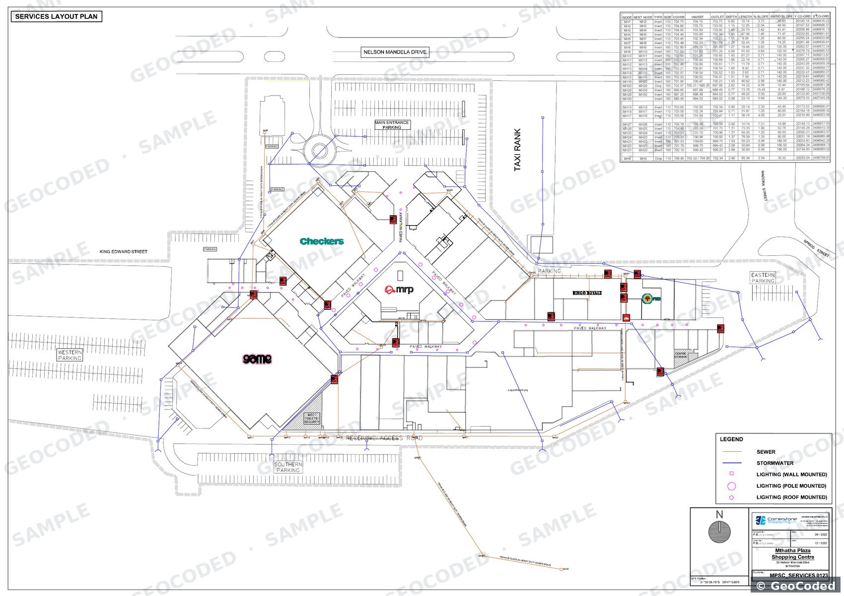
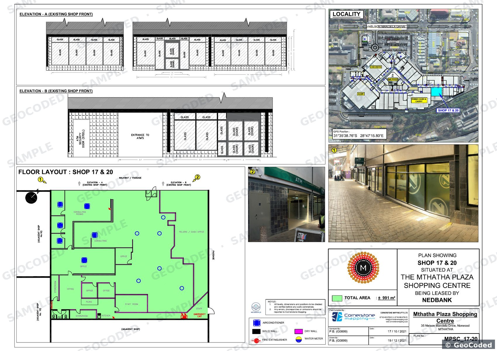
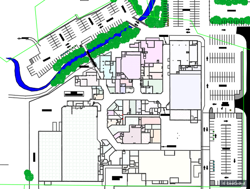
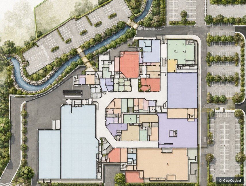
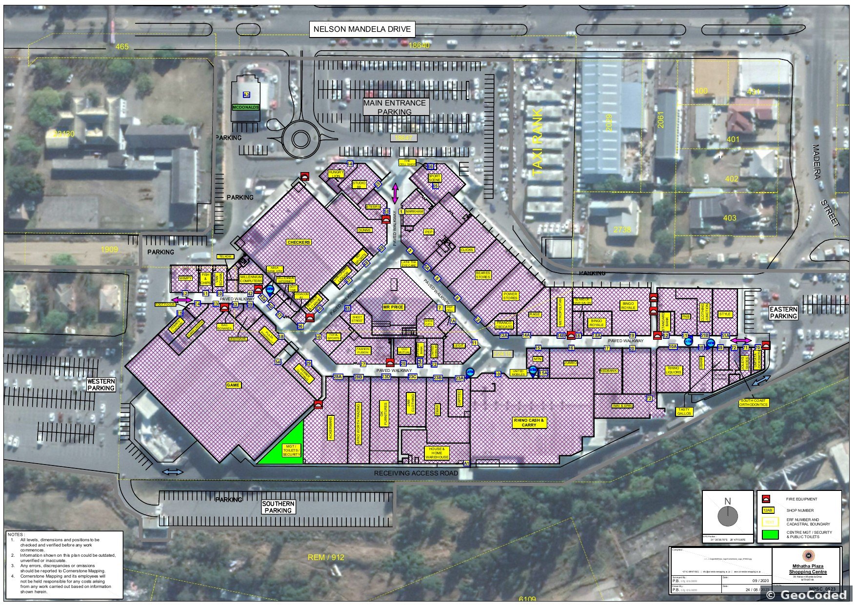
This is a completed CADTwin project, shown end to end. Drag the slider to move from the live aerial view of the centre, through the LiDAR-style capture sweep, to the structured CAD site plan produced from it — and on to the presentation plan issued from that same CAD. Every stage is the same site, aligned view for view.
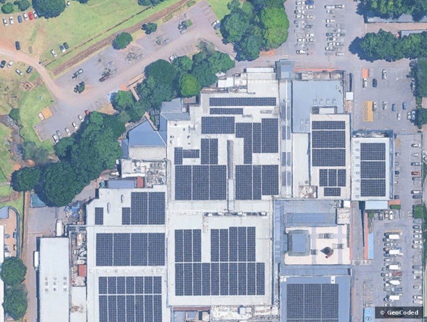
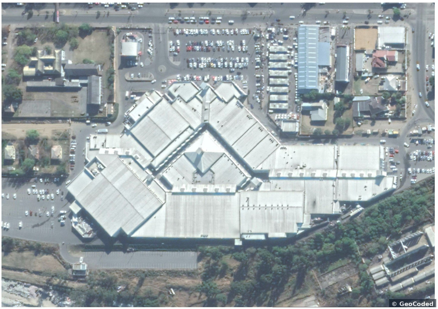
Use the captured building view as the starting point for reliable spatial interpretation.
Use LiDAR-style capture and verification so the model is based on what is actually there.
Generate clean CAD linework and issue-ready documentation that can support plan sheets, verification and future digital-twin workflows.
CADTwin can produce a wide range of practical property, leasing, facilities and design drawings. The deliverable can remain a conventional CAD/PDF drawing set, or become the foundation for an interactive CADTwin Pro environment later.
CADTwin does not force a property manager into a complex platform just because they need drawings. Your CAD remains useful on its own. The Pro layer is there when you want the plans to become operational.
Ideal when your immediate requirement is to replace paper plans, recreate missing drawings, verify existing layouts or establish a clean digital drawing archive.
Your drawings can become the front end to a live building information system — connecting spaces, leases, assets, documents, maintenance and spatial data to the floor plan itself.
Click a room, office, shop, floor or asset directly on the plan to view and update its information.
Connect internal floor plans to site maps, external assets and broader geographic information.
See occupancy, areas, lease status, maintenance priorities and document information at a glance.
Move beyond static drawings with searchable, filterable information linked to the physical space.
CADTwin is suited to property portfolios where plans are incomplete, outdated, scattered between formats or disconnected from the operational information used to manage the building.
Existing-condition plans, leasable areas, occupancy, lease information and maintenance-linked spaces.
Shop layouts, tenant plans, vacancies, lease expiry visibility and building assets.
Urban and regional shopping plazas where existing plans, retail layouts and property information need to be organised digitally.
Bring decades of plans into a consistent, searchable and updateable digital environment.
We review the property information you already have, whether that is paper plans, PDFs, old CAD or simply the building itself.
Where needed, we visit the property, capture the building with LiDAR and check key dimensions with laser verification.
We recreate the layout as clean digital CAD ready for issue, revision, leasing, planning and day-to-day building use.
If required, the same drawings can later become CADTwin Pro with interactive plans, dashboards and spatial intelligence.
You do not need to start with complicated software.
You need to start by getting the building digitised properly.
Whether you have boxes of old paper plans, scanned PDFs, incomplete CAD or a building that was never properly documented, CADTwin can establish the digital base first — without forcing you into the Pro platform.